

Concept neighborhood guide · Boston
South Boston
A peninsula of triple-deckers, harbor beaches and hilltop history — where Washington’s cannon ended a siege and a granite fort still guards the bay.
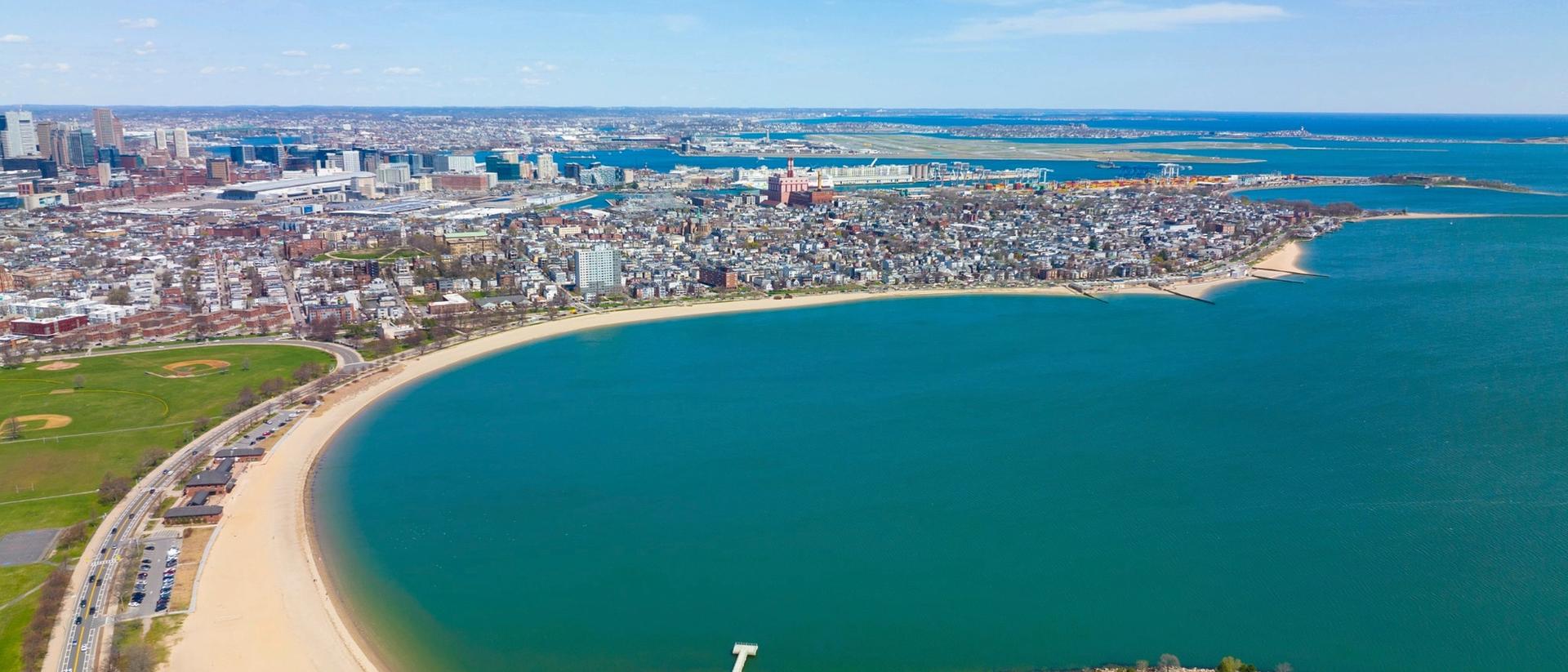
Explore South Boston homesCarson Beach
Beachfront living by the harbor.
- Dorchester Heights
- 1776
- Washington’s cannon here forced the British from Boston.
- Lettered Streets
- A → P
- Cross streets run in order, west to east.
- Harbor Parkland
- 3 mi
- Beaches and promenade from Carson Beach to Castle Island.
- Red Line Stations
- 2
- Broadway and Andrew, minutes from Downtown Crossing.
The story
A peninsula
that held the line
Before it was South Boston, it was Dorchester Neck — a thin isthmus of pasture and hills. On one March night in 1776, those hills decided the siege of Boston.
On March 4, 1776, American troops under General John Thomas fortified the heights with cannon hauled from Fort Ticonderoga. Facing guns above the harbor, the British sailed away on March 17 — still celebrated here as Evacuation Day, alongside the neighborhood’s famous St. Patrick’s Day parade.
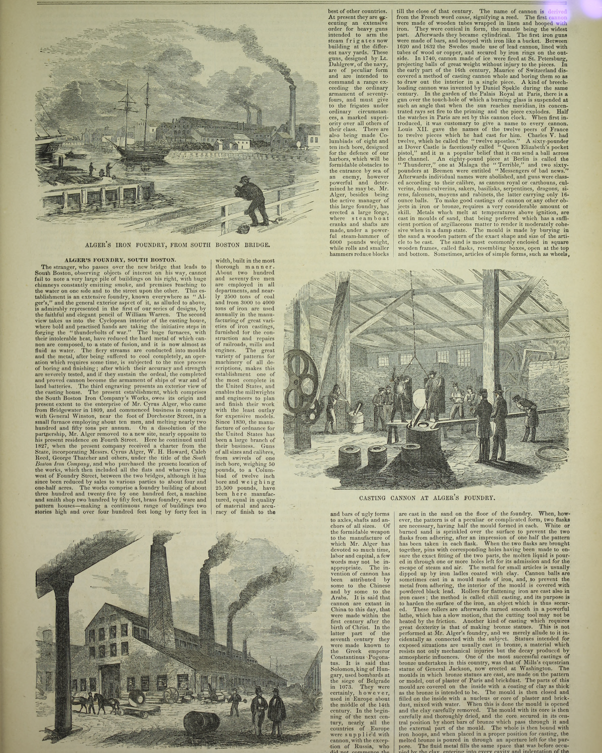
Boston annexed the neck in 1804 and renamed it South Boston. Landfill widened the shore, foundries and shipyards lined the water, and Irish families filled rows of wooden triple-deckers. Today those same streets — lettered A through P — hold a mix of longtime residents and newcomers drawn by the harbor.
Four Centuries
- 1634Castle Fort
- 1776Heights Held
- 1804Annexed
- 1851Fort Rebuilt
- 1902Monument
- 1904First Plunge
Landmarks
Granite, marble
and salt water
Three landmarks tell the neighborhood’s story: a harbor fort older than the nation, a hilltop tower to Washington’s victory, and a bathhouse built for swimmers.
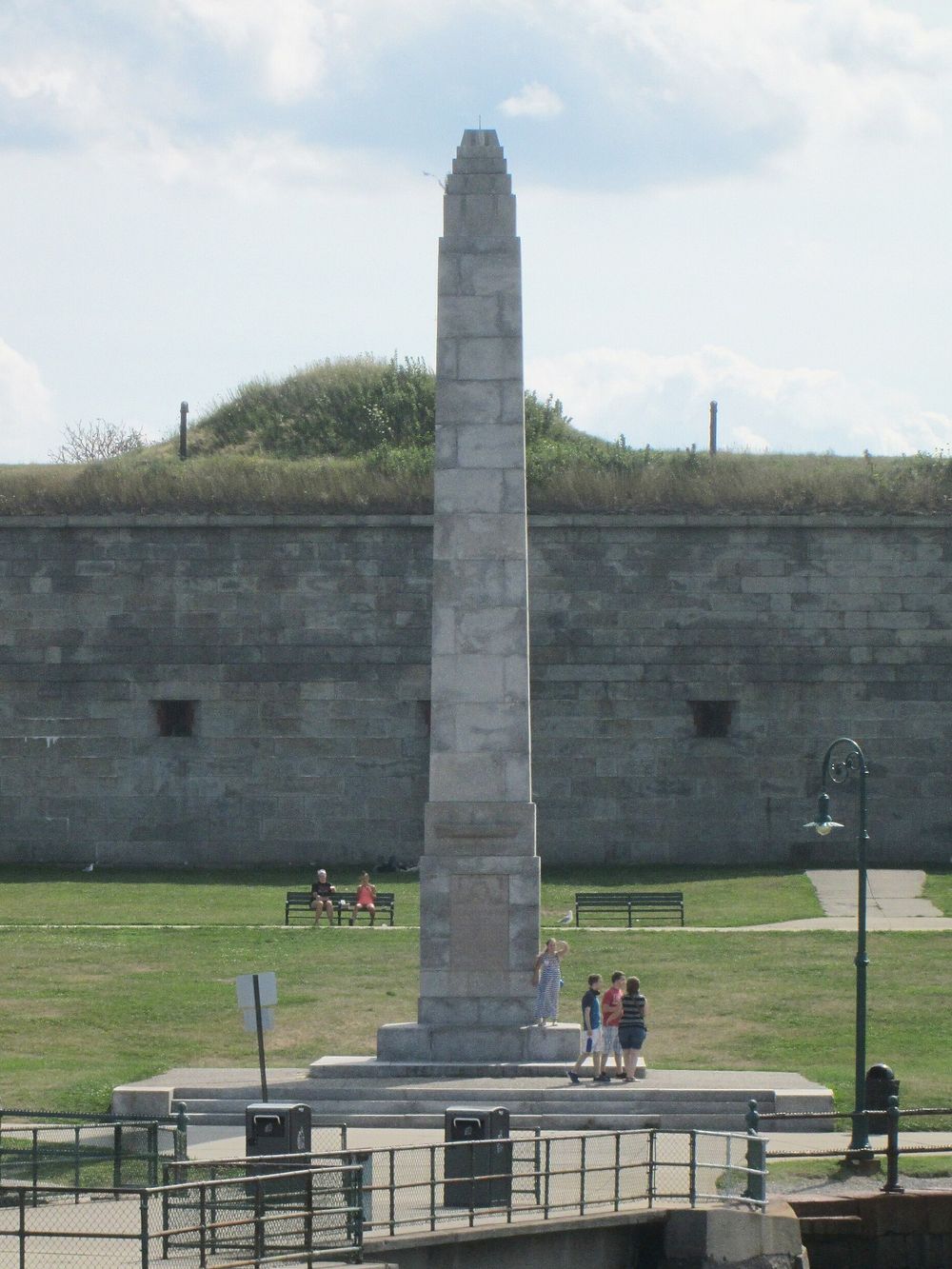
Castle Island
Fort Independence
Fortified since 1634, Castle Island’s five-bastioned granite fort was completed in 1851 under Sylvanus Thayer. Today it anchors a 22-acre park on the Pleasure Bay loop.
Built 1834–1851 · National Register of Historic Places, 1970
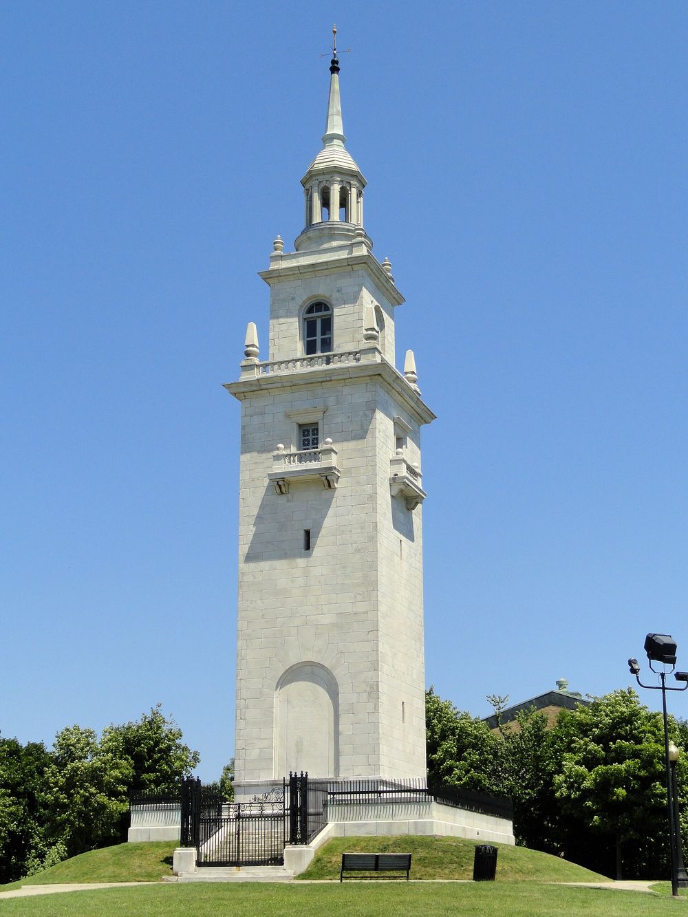
Thomas Park
Dorchester Heights Monument
Peabody & Stearns designed this 115-foot white marble tower, dedicated on Evacuation Day 1902. It crowns Thomas Park, among the city’s first public parks, on the hill Washington fortified.
Dedicated March 17, 1902 · Boston National Historical Park
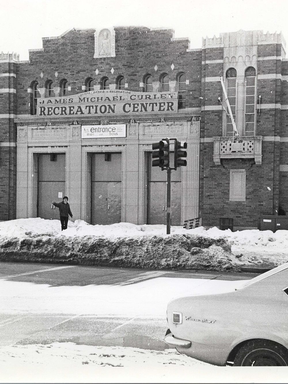
Day Boulevard
L Street Bathhouse
Mayor James Michael Curley rebuilt this Art Deco bathhouse in 1931. It is home base for the L Street Brownies, whose New Year’s Day plunge dates to 1904.
Brownies organized 1902 · Now the BCYF Curley Community Center
“Granite at the point, salt air at the door.”
Living in South Boston
What makes it
worth calling home
Beaches at the end of the block, the Red Line a short walk away, and a neighborhood that still knows its neighbors.
Three Miles of Shoreline
Carson Beach, M Street Beach and the Pleasure Bay loop form a continuous waterfront path from the Kennedy Library to Castle Island.
Red Line & Beyond
Broadway and Andrew stations put the Red Line within walking distance, the Silver Line serves the Seaport edge, and the Ted Williams Tunnel reaches Logan quickly.
A Historic Heart
The 40-acre Dorchester Heights Historic District, centered on Thomas Park, preserves the Victorian row houses and freestanding homes that ring the hilltop monument.
A Range of Homes
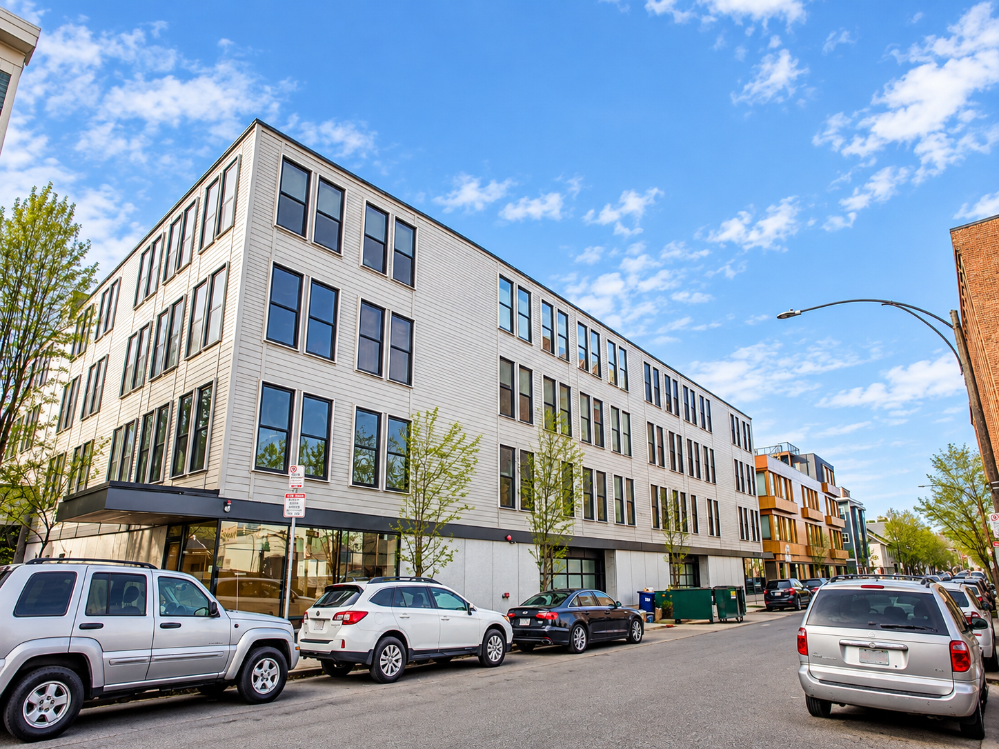
Classic triple-deckers and Victorian row houses share the streets with converted lofts and new condominium buildings, especially along West Broadway and the Seaport edge.
The Seaport Next Door
Fort Point and the Seaport lie just north of West Broadway, putting waterfront restaurants, galleries and the convention center within an easy walk.
Dining & Culture
East and West Broadway are lined with pubs, cafés and restaurants, and summer evenings end with a hot dog at Sullivan’s on Castle Island.
On the market
Featured listings in South Boston



Concept Properties · Unlock Boston™
Find your place
in South Boston
Whether you’re buying, selling or investing, our Newbury Street team knows South Boston block by block — from West Broadway lofts to City Point.
179 Newbury Street · Boston, MA